 vesseltracker.com
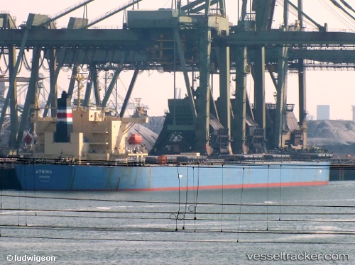
Vessel 538009597 IMO: 9343326, MMSI: 538009597
UTC, 49.82662, -138.58240, course: 297, speed: 12.2
UTC, 50.08891, -139.43430, course: 292, speed: 11.6
2026-02-05 17:50:09 UTC, 50.20355, -139.81619, course: 290, speed: 11.9
Live AIS position:
UTC. 302 nm NE of Lukovica pri Domzalah),
updated 2026-02-05 17:50:09 UTC.
Find the position of the vessel 538009597 on the map. The latter are known coordinates and path.
marine traffic ship tracker show on live map
The current position of vessel 538009597 is 50.20355 lat / -139.81619 lng. Updated: 2026-02-05 17:50:09 UTCDetails:
Last coordinates of the vessel:
UTC, 49.67833, -138.12833, course: -1, speed: 12UTC, 49.82662, -138.58240, course: 297, speed: 12.2
UTC, 50.08891, -139.43430, course: 292, speed: 11.6
2026-02-05 17:50:09 UTC, 50.20355, -139.81619, course: 290, speed: 11.9